NEW ZEALAND | MOUNTAINS, GLACIERS, RIVERS AND LAKES
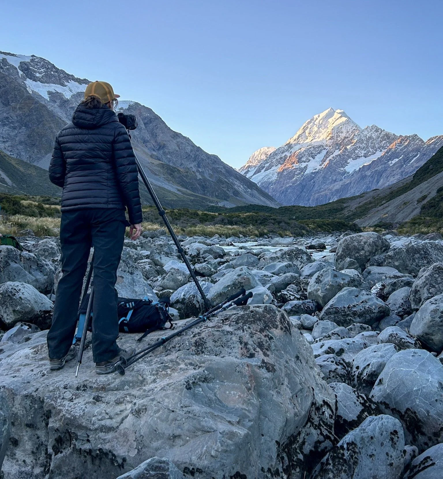
BREATHTAKING. RUGGED. MOUNTAINOUS. New Zealand’s South Island consists of stunning snowcapped mountain peaks, colorful & clear alpine lakes, braided rivers and rich farmland. It has twenty-three peaks that rise above 9.800 feet. The highest peak is Mt Cook or Aoraki (Māori) which stands at 12,218 feet. They are part of the Southern Alps mountain range spanning over three hundred miles (five hundred kilometers) from Lake Wanaka to Arther’s Pass. These peaks have snowy tops year-round. If you know me or read my blog, you know how much I love mountains, especially snow-covered mountains, so it is no surprise that I traveled to this country!
Facts about New Zealand (NZ): It is comprised two main islands - the North Island and the South Island - and seven hundred smaller islands. The South Island is the larger of the two. NZ is the world’s twelfth largest island country, by area and lies to the east of Australia. Our NZ guide, Neil, often referred to Australia as NZ’s Western Island but I do not think that is official nor that an Australian would agree. It has a population of five million people allowing for a large amount of pristine wilderness due to low population density. It is often referred to as the “Green Island” because of the country’s high environmental awareness.
A lone lenticular cloud sits over the top of one of the many dramatic snowcapped peaks.
The six images above were taken during an exhilarating doors-off helicopter ride. This was my first time flying in a helicopter, but I had heard the wind can be fierce when the doors are removed from the fuselage. Well…that was an understatement! I felt a wind shear going into my left ear and nostril that felt uncomfortable to say the least. It was also challenging to line up my shots when my body was constantly buffeted by the wind. Not to mention the cold temperatures at an altitude of 9 to10 thousand feet (my fingers were so cold I could not tell if I was pressing the back-button focus or the shutter buttons). But despite these circumstances it was a great way to capture Mt. Cook & the surrounding peaks. In addition, having a bird’s eye view of glaciers and the braided rivers in the valley made for some cool abstract images. Would I do it again? Absolutely! [click on the image to view the entire picture]
This view from Coromandel Peak, encompassing Lake Wanaka, several islands, a river, and the snowcapped mountains; was spectacular! I give the wow factor a 10/10! My soul soared as we arrived at this spot via helicopter. Our guide, Joseph, happened to wander into the frame of my camera and made this image better by giving the scene a sense of scale.
On our way to Wishbone Falls (above) we got stuck behind a cattle drive and muster (below). The dog on the back of the truck and mustering the sheep (top left and bottom left, respectively) was responsible for keeping the livestock in line. He was hardworking and very good at his job! When he got tired he would jump up on the back of the all-terrain vehicle and watch the herd from that position until he was needed on the ground. Our group adapted and adjusted to this livestock traffic jam. We disembarked the van and walked along behind the herd so we could capture some images of the herding process.
I highly recommend a visit to this country. The South Island is an amazing place. Below are samplings of the views.
LAKE WAKATIPU near Queenstown
Rimu trees, big waves, and scattered driftwood on the beach at BRUCE BAY
FOX GLACIER is the backdrop for this cattle ranch.
ROBINSON CREEK waterfall
Misty morning at LAKE MATHESON
GODLEY VALLEY at sunrise
The iconic Lone Tree on LAKE WANAKA at sunrise
SELF PORTRAIT - well kind of…I set up the shot and asked someone to push the shutter button once I got in place.


